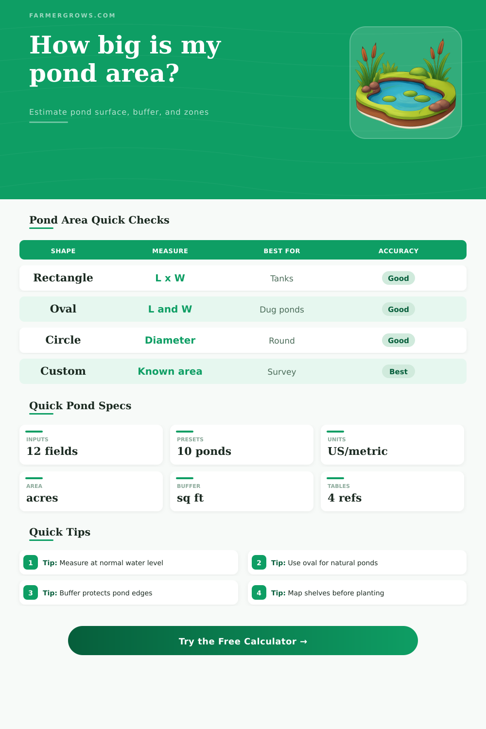
Pond Area Calculator
Estimate pond surface area, high-water expansion from side slopes, shoreline buffer footprint, planting shelf coverage, and treatment zones in farm-friendly units.
Measure the normal waterline first, then use slope rise, buffer width, and shelf settings to estimate the area you actually manage for planting, mowing, treatments, and erosion protection.
Pond Area Results
Surface area is calculated from the selected shape, then adjusted for high-water rise, side slope, planning overage, buffer band, planting shelf, and treatment coverage.
| Shape method | Area formula used | Perimeter estimate | Best field use |
|---|---|---|---|
| Rectangle | Length x width | 2 x length + 2 x width | Geometric basins, lined ponds, rectangular irrigation cells |
| Oval | Pi x half length x half width | Ramanujan ellipse approximation | Most rounded dug ponds and natural-looking farm ponds |
| Circle | Pi x radius squared | Pi x diameter, unless measured shoreline is entered | Round tanks, small koi ponds, circular excavations |
| Triangle | 0.5 x base x height | Three-side estimate from base and equal sides | Wedge basins, corner stormwater cells, narrow coves |
| Trapezoid | Average width x centerline length | Top + bottom + two measured side shorelines | Livestock ponds, tapered basins, embankment ponds |
| Pond surface | Square feet | Square meters | Common description |
|---|---|---|---|
| 0.05 acre | 2,178 sq ft | 202 m² | Small garden or wildlife water feature |
| 0.10 acre | 4,356 sq ft | 405 m² | Large backyard pond or small livestock water |
| 0.25 acre | 10,890 sq ft | 1,012 m² | Common small farm pond |
| 0.50 acre | 21,780 sq ft | 2,024 m² | Wildlife, irrigation reserve, fishing pond |
| 1.00 acre | 43,560 sq ft | 4,047 m² | Full acre farm pond surface |
| Vegetated buffer width | Typical use | Management note | Calculator effect |
|---|---|---|---|
| 10 ft | Tight mowed pond edge | Useful where access is limited, but runoff filtering is modest | Adds a narrow band outside the high-water shoreline |
| 25 ft | General farm pond buffer | Good starting point for pasture, garden, and wildlife ponds | Often large enough to change mowing and seed estimates |
| 35 ft | Sloped or exposed banks | Gives more room for grasses, sedges, and bank stabilization | Raises land footprint around the entire pond |
| 50 ft | High runoff or habitat edge | Better for nutrient filtering, wildlife cover, and reduced erosion | Can exceed the water surface on small ponds |
| Zone target | Typical share | What to include | Field note |
|---|---|---|---|
| Emergent planting shelf | 15% to 35% | Shallow edge benches, wetland plants, protected coves | Use a smaller share for swimming or open casting lanes |
| Open water | 65% to 85% | Central pond area after planted shelves | Keep enough open area for oxygen exchange and access |
| Treatment zone | 50% to 100% | Algae checks, dye coverage, aeration planning, scouting area | Use full pond area unless only coves or shallow bays are treated |
| High-water expansion | Varies by slope | Extra surface from water rise along sloped banks | 3:1 banks add 3 ft of horizontal spread for each 1 ft rise |
For irregular ponds: Walk the long axis and widest cross-axis, then use the oval method with 10% to 20% overage. A GPS area can be entered with the custom method when available.
For management zones: Keep water surface, buffer land, and planted shelf area separate. Seed, planting, treatment, and mowing plans usually use different parts of the same pond edge.
To determine how to manage your farm pond, you first must measure the area of the waters surface. This measurement are important because it determine how you will manage the farm pond. The amount of buffer grasses to be seed along the pond’s banks will be determined by the area of the water’s surface.
The area of the water’s surface will also determine how far the planting shelves will stretch into the pond. Many people will measure the length and the width of the pond’s waterline. However, this isnt the same as the area of the farm pond that you will manage.
How to Measure Your Farm Pond Area for Management
The area that you must manage include the side slopes of the pond and the vegetated strips along the bank that extend beyond the waterline. The side slopes of a farm pond will change the area of the pond’s surface that you must manage. As the water level within the pond rises, the water that rises against the slope will spread out horizontal across the slope.
For example, if a farm pond features three-to-one side slopes, three feet of pond surface will be gained for every one foot that the water level rise within the pond. The area of the pond that will need to be mowed will change as a result of this change in the surface area of the pond. The width of the buffer land will also change.
There is online calculators that will adjust for the side slopes of the pond. All you have to do is enter the dimension of your pond and the rise in the water level into the calculator to determine how the side slopes of the pond will change the areas that need to be managed within your farm pond. A buffer width determine the function of the buffer land that surrounds the pond.
The buffer land will filter nutrient from the runoff that enter the farm pond. The buffer land will slow the rate of flow of water that enters the farm pond. Finally, the buffer land will provide a habitat for wildlife to live within the farm pond area.
A wider buffer will require more seeds to cover that area and take up more time to mow. Therefore, the buffer width is a tradeoff between water quality and the amount of labor to manage the buffer land. A calculation tool can display the land footprint that the buffer land will take up within the farm pond area.
All you have to do is enter the dimensions of the buffer land into the calculation tool to determine the land footprint of the buffer land. This tool will allow you to see this footprint without having to sketch out the farm pond on paper. Planting shelves are shallow benches that are located within the edge of the farm pond.
These areas are for planting emergent plant within the pond. Additionally, treatment products that are used within the pond will be most effective within these planting shelves. You must decide a target percentage of the area that will be occupied by planting shelves.
If there is too much area for planting shelves, then the owners of the farm will not beneficially utilize the rest of the pond. However, if there is not enough area designated for planting shelves, then those shallow margin will be bare and susceptible to erosion. People often make mistakes with farm ponds because they consider the area of the pond to be a perfect geometric shape.
Most farm ponds are not these shapes. Oval ponds are not perfect ellipses and areas for trapezoid livestock basins are not perfect trapezoids. To account for this, you can use an overage selector to add ten or fifteen percent to the area that is measured.
This extra area will account for the fact that a farm pond is unlikely to measure to the dimensions that were calculated. Additionally, the reference table that accompany these calculations feature the formulas for each shape. These formulas will show why a farm pond in the shape of a triangle will require different management inputs than one that is in the shape of a rectangle.
Field conditions will change the measurements of the farm pond. A GPS trace of a farm pond will read larger after a wet spring than during a dry summer. Additionally, banks of farm ponds will slump in certain soil types and areas.
A walk-through of the farm pond at normal water levels will allow you to determine the dimensions of the farm pond. The farmers will enter these dimensions into the calculation tool to determine the area that must be manage. The calculation tool will provide a baseline that will help to calculate the area of each zone that must be managed.
These dimensions can then be adjusted later on the basis of your observations of the farm pond. The different zones of the farm pond must be separated. The areas include the water surface, buffer land, and planted shelf.
These are three different zone within the farm pond, but they are all part of the same farm pond. The buffer land will be seed and the area that gets treated with various treatment products will be the water surface. The buffer land and water surface will need to be mowed.
Therefore, once these zones are separated, it is easy to see that measuring the area of the waterline is only the beginning of managing a farm pond.