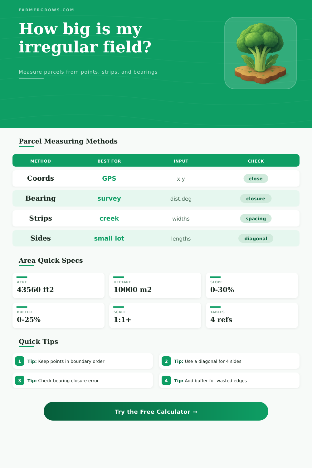
Irregular Land Area Calculator
Calculate field, pasture, garden, and parcel area from coordinates, side lengths, bearings, trapezoid strips, triangle segments, map scale, slope adjustment, and buffer allowance.
Enter measurements in boundary order when using coordinates or bearings. The calculator converts units internally, applies your drawing scale, estimates slope surface area, and adds waste or field-edge buffer for planning materials.
Irregular Land Area Results
These cards separate plan-view area, slope-adjusted surface area, buffered planning area, and boundary quality so field measurements are easier to compare.
| Unit | Equals | Common Use | Formula |
|---|---|---|---|
| 1 acre | 43,560 sq ft | US field and pasture area | sq ft / 43,560 |
| 1 hectare | 10,000 sq m | Metric land records | sq m / 10,000 |
| 1 sq meter | 10.7639 sq ft | Metric to imperial conversion | sq m x 10.7639 |
| 1 sq yard | 9 sq ft | Sod, fabric, or small plots | sq ft / 9 |
| Entry Type | Example Line | Meaning | Best Check |
|---|---|---|---|
| Coordinate | 125,80 | x/east value, y/north value | Points must follow boundary order |
| Bearing | 300,92 | 300 ft at 92 degrees from north | Closure error should be small |
| Trapezoid | 80,96 | Station 80 with width 96 | Stations should increase along baseline |
| Triangle segment | 140,62 | Base 140, height 62 | Do not overlap segment pieces |
| Slope Grade | Surface Factor | Extra Surface Area | Field Note |
|---|---|---|---|
| 0% | 1.000 | 0.0% | Flat plan area equals surface area |
| 5% | 1.001 | 0.1% | Usually a small correction |
| 15% | 1.011 | 1.1% | Helpful for cover, spray, and erosion work |
| 30% | 1.044 | 4.4% | Steep enough to matter for surface materials |
| Parcel Type | Typical Method | Usual Accuracy | Planning Buffer |
|---|---|---|---|
| Garden block | Coordinates or sides | Good with tape or GPS corners | 5% to 10% |
| Creek or pond edge | Trapezoid strips | Good when stations are close | 10% to 15% |
| Pasture or paddock | Bearings or GPS points | Depends on closure and corner quality | 5% to 12% |
| Scaled paper map | Coordinates with scale | Limited by map scale and tracing | 10% to 20% |
Boundary order matters: coordinate and bearing points should move around the parcel without crossing back and forth. If the area looks too small, reorder the corners and recalculate.
Buffer depends on the job: use a small buffer for land records, a larger one for seed, mulch, cover crop, spray overlap, fence corners, or uncertain map tracing.
To measure an irregular field, you need to determine the correct measurement method to use. Because the fields is irregular in shape, the boundaries can be along a creek, a fence line, or along a slope in the land. Additionally, you must make sure that you measure these fields accurate, as the calculation will play a role in ordering the necesary materials for the field.
Beyond finding the square footage of the field, there are additional steps and considerations before you finalize the measurement process for the field. People can use GPS unit to measure the area of an irregular field or use an old survey map of the field. GPS units require dropping points on the boundaries of the field so that the GPS unit can calculate the area of that field.
How to Measure an Irregular Field
However, you must drop the points in order to ensure that the GPS unit does not skip any point in its calculation. Using a survey map requires using the bearings and distances between the corners of the field. Ensuring that your measurement close will ensure that the calculated area of the field is accurate.
Using either of these two methods, there will be mistake hidden in the plan until purchase of the materials for the field. Additionally, there are other method of calculating the area of an irregular field. For fields whose boundaries are partly curved, you can use the trapezoid strip method.
This method is used when the field boundary feature a creek or a pond. By using this method, you place measuring stakes in even intervals along a baseline, and the width of the field are measured at each of these stakes. By calculating each area as a trapezoid, the total area of the field can be calculated.
The benefit of this system is that even spacing of the stakes is required on the even parts of the boundary of the field, but greater distance can be used on the straight portions of the boundary. Additionally, the calculation of the area directly provides a perimeter number that includes the irregular boundary of the field. This value of the perimeter of the field is a value that can directly be used in the pricing of materials that must follow that irregular boundary of the field.
Other methods for calculating the area of an irregular field are the side-length methods. These methods are used for small plots of land or garden bed. For four-sided plots of land, one of the diagonals of the plot must be measured.
These quadrilaterals must be divided into two separate triangle. If there is no diagonal measurement, it is not possible to calculate the area of that field using this method and guessing at the length of the diagonal will lead to purchasing the wrong amount of material to cover that field. For three-sided plots, one of the methods is for the three-sided plot to simply be a triangle.
Any attempt to enter length that cannot form a three-sided plot will be rejected by the calculation calculator. Base calculations for area will require adjustment for slope or buffer allowance of the field. Fields often have slopes that increase the area of the field’s surface.
For every percent of grade of slope, the area of the field’s surface increase. The increased area must be accounted for in calculations for materials like mulch or irrigation tubing. Additionally, field work often creates waste of materials at the edges of the field.
This waste is due to overlap in seeding the field, turning radii of field equipment, or not being able to trace the map of the field. A percentage of the total area for the field must be allowed for this waste. Area of the field must be converted between units of measurement.
Many individuals use acre to measure their fields. Other fields, however, use hectare or square meter for their units of measurement. In other cases, the supplier of the materials may use metric unit for its products.
It is important to ensure that all measurements are correctly copied from field notebooks to purchase forms for suppliers. Error can occur during this process. To assist with calculations for these variable, reference tables can be used.
One table may include various slopes and the additional area of the field’s surface. Another reference table can include various buffer percentage that are needed for the field. These are not rule for calculating area or any field variables.
However, these tables can assist in making adjustment to area calculations for fields. Some of the most common mistake made when calculating the area of irregular fields include entering the coordinates of the field in an order that does not trace the boundary of the field. Another common mistake include using the measurements on a scaled map as if they were the real measurement of that field.
Additionally, people may make the mistake of not considering that a percentage buffer allowance for waste must be compounded with any calculation of area that are made with slope calculations for the field. If this mistake is made, the total measurement of the field will be incorrectly calculate. Though the field is irregular in its shape, it is also irregular in how it is used, its slope, and how much waste may occur during the work of that field.
Therefore, no single method will account for all the variables in the field. The initial measurement of the field will require you to pick a method based on the available tools and information about the field. Once you calculate the area, you will have to apply adjustment for slope, buffer, and unit conversions.
Finally, the area calculations are only complete if the calculated number make sense when you return to the field with a measuring tape or GPS unit.